


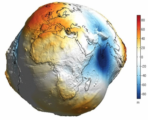
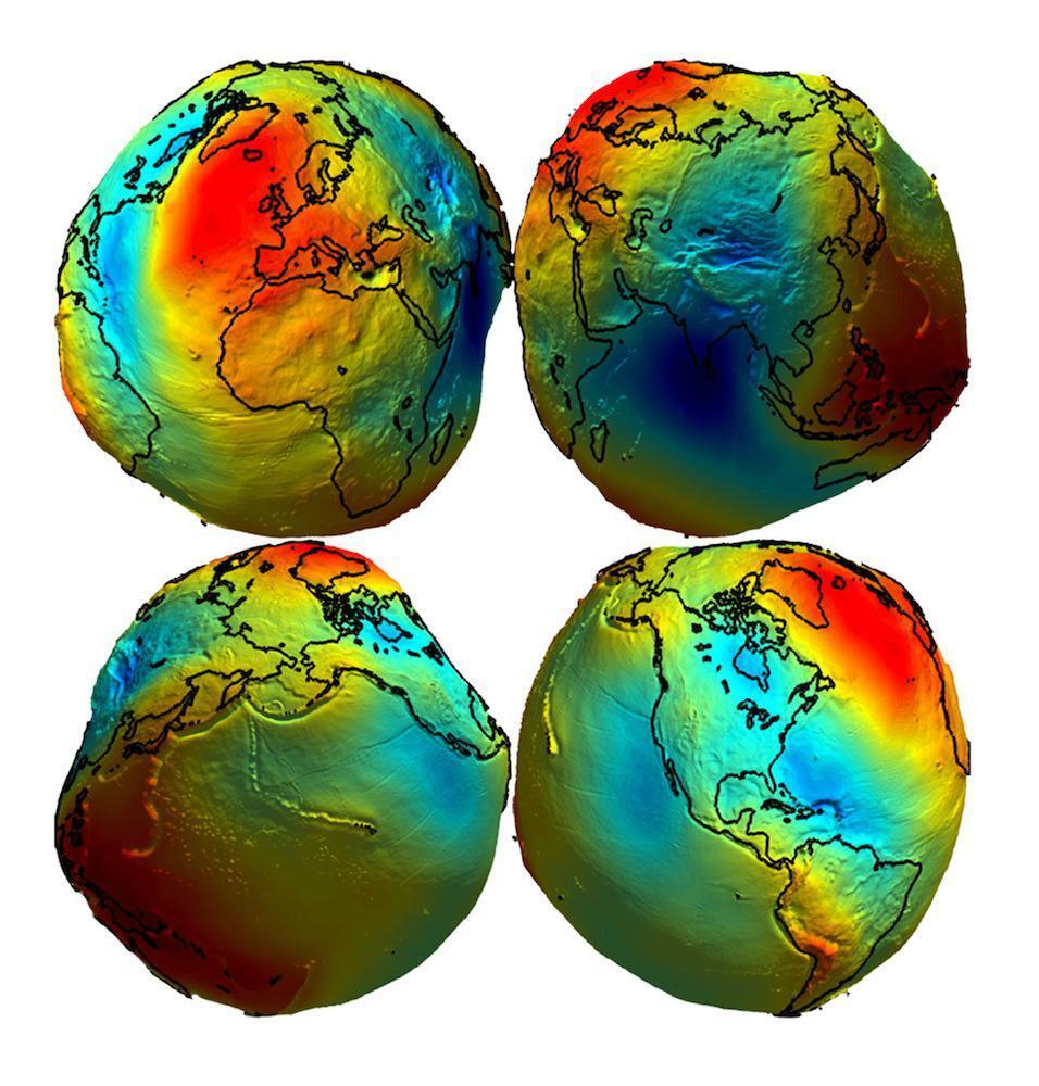
@Shlomo @epictittus @DoubleD Did the earth get testicular cancer or some shit? The bulb in the Pacific ocean doesn't even make sense and there is no altitude on the Himalayas of all places.
@Shlomo @epictittus @DoubleD Unlikely considering that a Geoid can still be a perfect sphere. The one you posted heavily exaggerates the sea levels or doesn't accurately calculate it 1:1
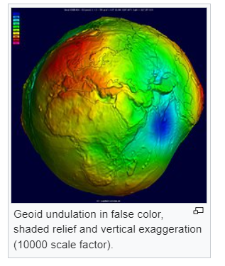
@AndkonsReich @epictittus @DoubleD Odd, my books say otherwise. Earth cannot be a perfect sphere. Its bulky.
@Shlomo @epictittus @DoubleD Articulate to me why God would make the Earth a bulky blotted mess like the one above
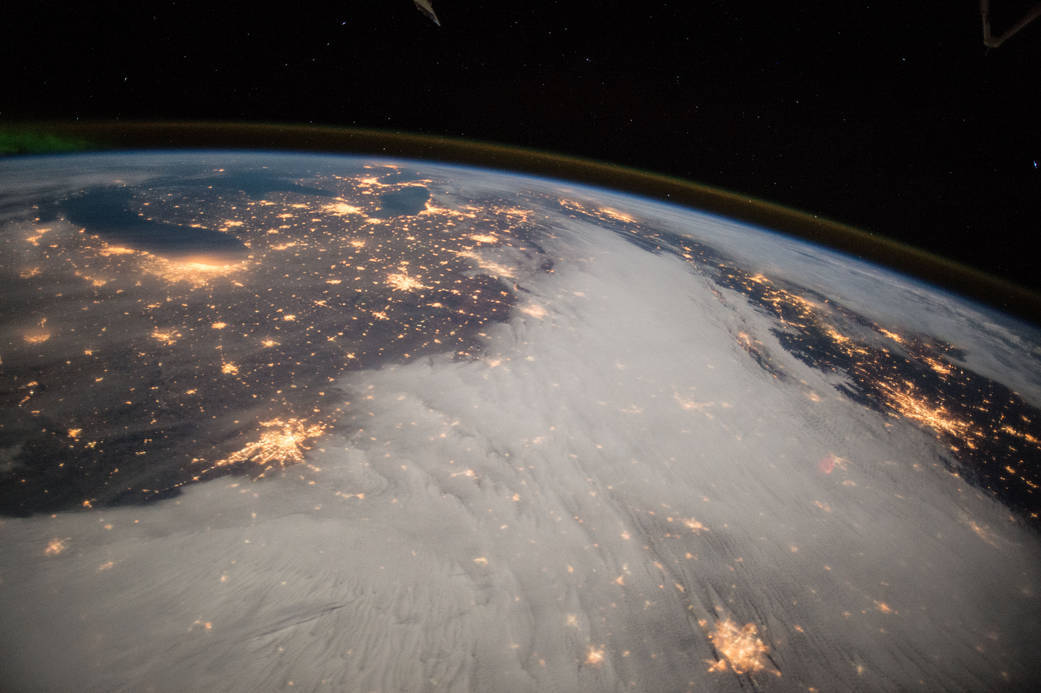
Look in a telescope at another celestial object real close and you'll see a perfect sphere.
Look in a telescope at another celestial object real close and you'll see a perfect sphere.

@AndkonsReich @Shlomo @DoubleD Those graphics are all just to show the variation so a human eye can see it, the height variation is invisible to the human eye. Even the bulge at the equator is invisible to the human eye, when we zoom out its a regular sphere.
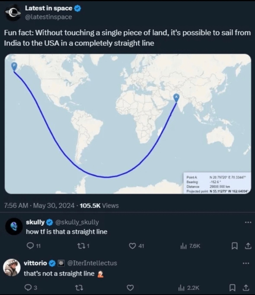
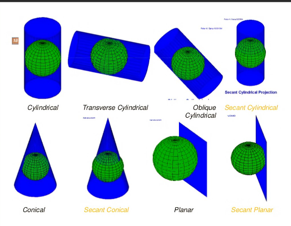
The reason why the path on the map curves like that is because of the flaws inherent in the mercator projection.
The reason why the path on the map curves like that is because of the flaws inherent in the mercator projection.
@epictittus @AndkonsReich @DoubleD yep, its not always in cylinder-shape.
@Shlomo @epictittus @DoubleD So how close do you have to get to earth before its "optical illusion" turns from a cow's testicle to a perfect sphere?

@Shlomo @AndkonsReich @epictittus @DoubleD >ESA's GOCE satellite will measure the effects of gravity on Earth. This helps to provide a reference for sea surface height models, important for measuring sea level change to millimetric precision.
Its just gravity reading, not the shape.
Its just gravity reading, not the shape.
@Marakus @AndkonsReich @epictittus @DoubleD ffs, im too lazy to take picture of my books. earth is bulky. our reference systems for satellites makes us think its like a sphere.
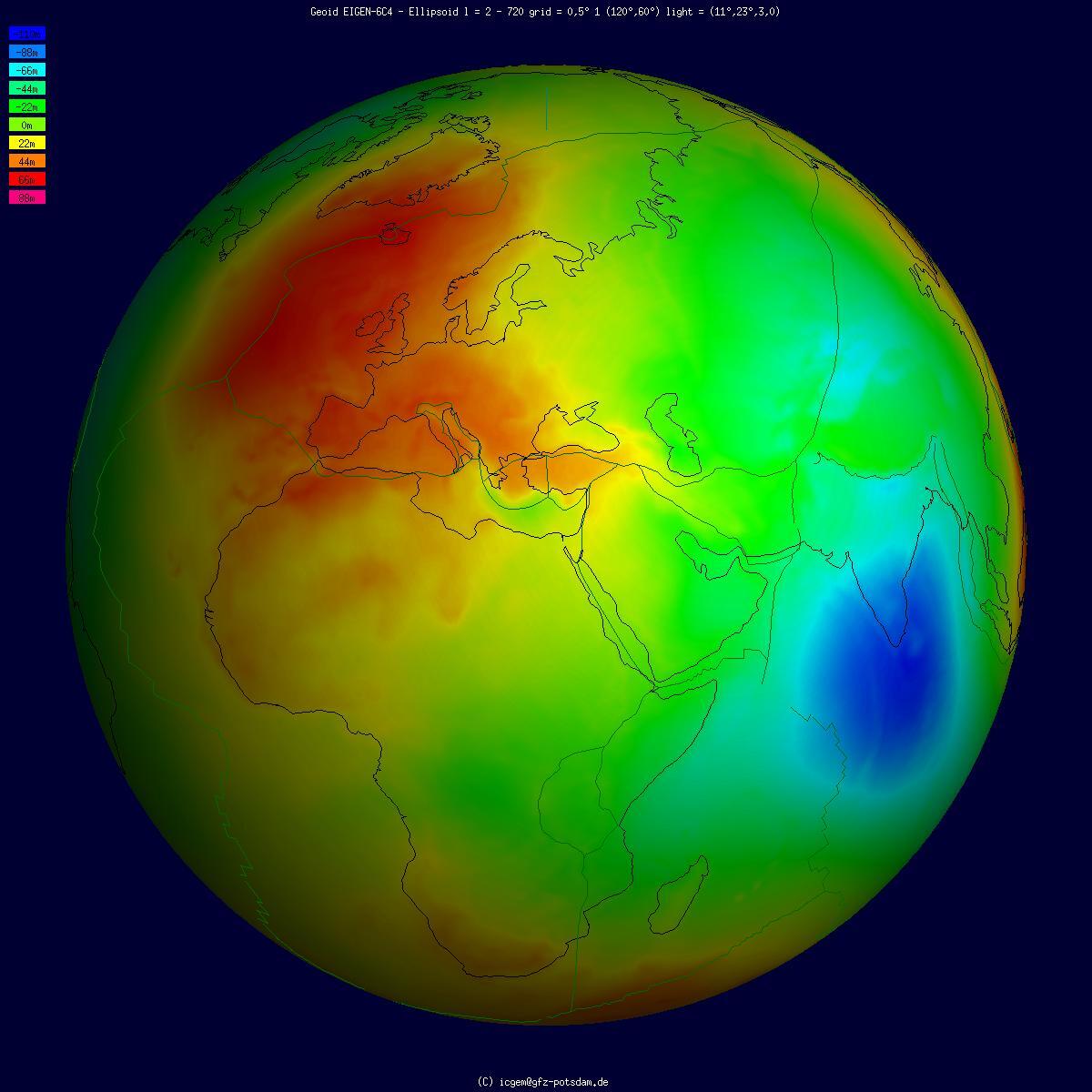
@Shlomo @AndkonsReich @epictittus @DoubleD also
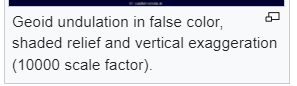
>10000 scale factor
>10000 scale factor
@Marakus @AndkonsReich @epictittus @DoubleD Maybe im too autistic but i would not call this a sphere.

@Marakus @Shlomo @AndkonsReich @epictittus @DoubleD Also, the ship will be sailing at sea level. Highest point above sea level is the peak of Everest at ~9km versus earth’s radius of 6371km = 0.139% so the earth is relativly spherical if you include water as the “surface”

@epictittus @DoubleD And we reproject it in various ways depending on usage.

@Shlomo @epictittus @DoubleD ayo, what was going on in Mercator's life to make him project like that, fr fr
@Shlomo @epictittus @DoubleD Also it says scale in meters. +-100

@Shlomo @epictittus @DoubleD lul the relief isnt that intense.

When reality is twisted to make a convenient 2D map, the path looks like that.